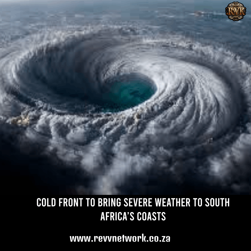
A cold front, or mid-latitude cyclone, is expected to cause low atmospheric pressure and strong winds, resulting in large waves and storm surges along South Africa’s west and south-east coasts on Monday, the South African Weather Service (SAWS) reported.
SAWS explained that a storm surge occurs when seawater rises above the projected astronomical tides due to severe weather. Surges can be positive (storm surge) or negative (negative surge). “A positive surge can occur when strong near-surface onshore winds along a coastline lead to a significant increase in water levels,” SAWS stated. “Strong onshore winds and waves can further elevate water levels at the coast. When these conditions coincide with high tide or spring tide, the impact on the coastline can be exacerbated.”
The weather service forecasted wave heights of six to eight meters, with some reaching up to 10 meters in the south-west, along with gale to strong gale intensity north-west to westerly winds. Additionally, the system’s heavy rainfall may damage coastal infrastructure and disrupt daily routines.
Recreational sites at or near beaches are also projected to be at risk.
Torrential downpours and strong winds are already impacting the Western Cape, with the Provincial Disaster Management Centre (PDMC) announcing that additional cold fronts will make landfall until Friday, July 12. Anton Bredell, MEC for Local Government, Environmental Affairs, and Development Planning, reported that approximately 1,000 structures were demolished by severe winds in Khayelitsha, Cape Town, on Thursday, leaving about 4,000 people homeless during the current cold and wet weather.